Satellite Weather Desk
High-resolution environmental intelligence sourced from Copernicus and Meteosat constellations.
Atmospheric Grid View
10×10 Matrix · 22.0°N 9.0°E to 33.0°N 25.5°E
Why Satellite Intelligence for Libya?
Traditional weather forecasting struggles in Libya due to the vast expanse of the Sahara and the sparse network of physical ground stations. Our Satellite Desk bridges this massive data gap by observing from the top down.
By combining data from geostationary satellites like Meteosat—positioned 36,000 kilometres above the Earth for uninterrupted monitoring—with the high-resolution polar orbits of the Copernicus Sentinel constellation, we achieve a comprehensive view of the entire nation. Unlike ground stations that only measure a single point, these orbital sensors collect constant, real-time thermal intelligence across every square kilometre of the desert and coastline.
The Precision Advantage
Rather than relying solely on global computer models that estimate what should happen, we process this continuous stream of raw orbital data to see what is actually happening right now.
By synchronizing live satellite observations with predictive modelling, our system instantly captures the unique, fast-changing climatic behaviors of the region—from localized heat pockets deep in the Sahara to sudden coastal sea breezes. The result is a uniquely tailored, highly accurate, and vital stream of live weather intelligence built specifically for Libya.
Current Conditions
| Tripoli | Benghazi | Sirte | Sabha | Misrata | Zuwara | Ghadames | Jalu | |
|---|---|---|---|---|---|---|---|---|
| Air Temp | -- | -- | -- | -- | -- | -- | -- | -- |
| Ground Temp | -- | -- | -- | -- | -- | -- | -- | -- |
| Wind | -- | -- | -- | -- | -- | -- | -- | -- |
| Humidity | -- | -- | -- | -- | -- | -- | -- | -- |
| UV Index | -- | -- | -- | -- | -- | -- | -- | -- |
| Dust Risk | -- | -- | -- | -- | -- | -- | -- | -- |
| Data Source | -- | -- | -- | -- | -- | -- | -- | -- |
The Constellations Powering Our Intelligence
Understanding the orbital platforms behind the data
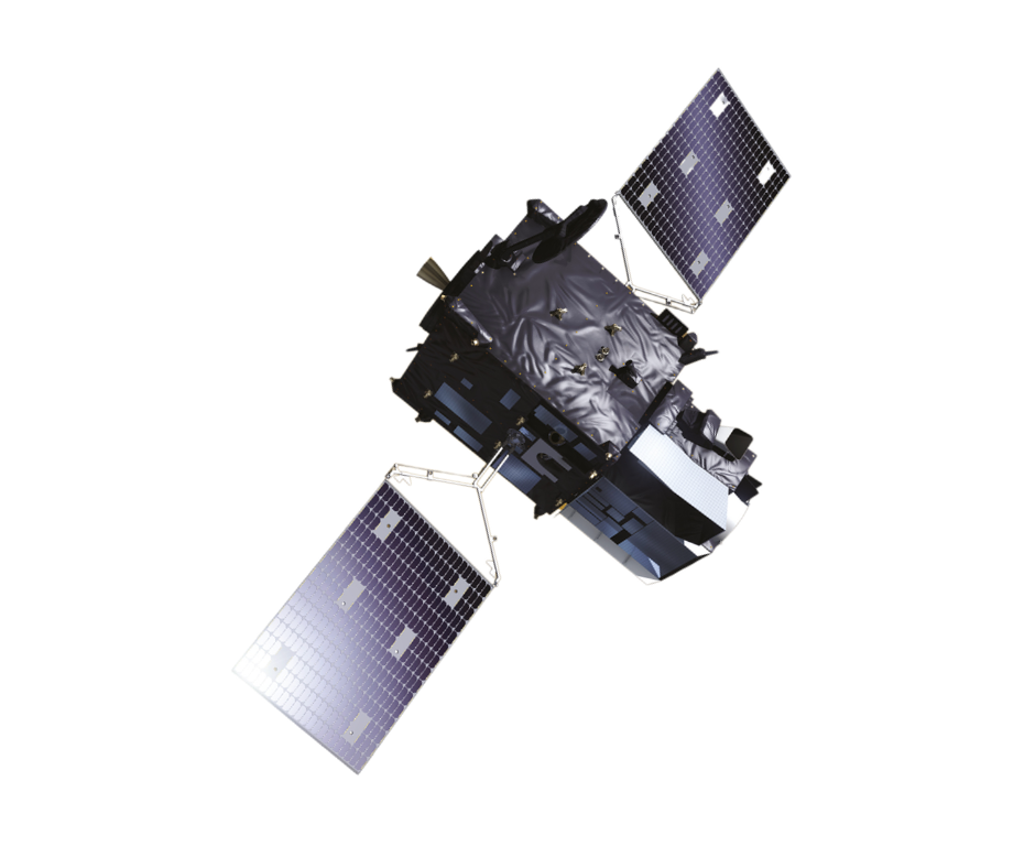
Meteosat Series
Operated by the European Organisation for the Exploitation of Meteorological Satellites (EUMETSAT). Positioned in a geostationary orbit at 0° longitude, 36,000 kilometres above the equator, Meteosat provides a continuous, fixed stare at the African continent. This permits rapid-scan thermal and optical imaging every 15 minutes—a crucial capability for tracking fast-moving weather fronts and conducting real-time Nowcasting over the Sahara.
Copernicus Sentinel Constellation
Operated by the European Space Agency (ESA). The Sentinel satellites fly in Sun-synchronous polar orbits, mapping the entire globe at much lower altitudes (around 800 km). Sentinel-3 is specifically designed to measure sea and land surface temperatures with incredible spatial resolution, capturing detailed thermal signatures that geostationary satellites cannot resolve.